
Mapwith.ai
Mapwith.ai's Rapid editor empowers users to enhance OpenStreetMap with AI-driven tools and open data for efficient and accurate map editing.
 Tags
Tags
 Useful for
- 1.What is Mapwith.ai?
- 2.Features
- 2.1.1. Rapid Editor
- 2.2.2. Open Data Integration
- 2.3.3. AI-Analyzed Satellite Imagery
- 2.4.4. Community Support
- 2.5.5. Educational Resources
- 3.Use Cases
- 3.1.1. Humanitarian Mapping
- 3.2.2. Urban Planning
- 3.3.3. Environmental Monitoring
- 3.4.4. Educational Purposes
- 4.Pricing
- 5.Comparison with Other Tools
- 5.1.1. Traditional Mapping Tools (e.g., ArcGIS)
- 5.2.2. Other Online Mapping Platforms (e.g., Google Maps)
- 5.3.3. OpenStreetMap (OSM)
- 6.FAQ
- 6.1.What is the primary purpose of Mapwith.ai?
- 6.2.Who can benefit from using Mapwith.ai?
- 6.3.Is Mapwith.ai free to use?
- 6.4.How does Mapwith.ai utilize AI in mapping?
- 6.5.Can I collaborate with others on mapping projects using Mapwith.ai?
What is Mapwith.ai?
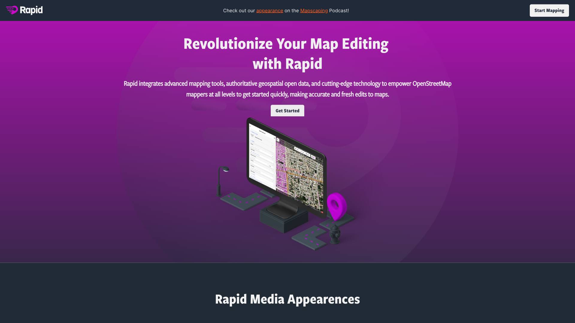
Mapwith.ai is an innovative mapping tool designed to revolutionize the way users edit and interact with maps. Developed with the intention of enhancing the mapping experience, Mapwith.ai leverages advanced technologies, including artificial intelligence (AI) and open geospatial data, to empower users at all levels—whether they are seasoned mappers or newcomers to the field. The tool focuses on simplifying the mapping process, making it accessible and efficient, while also ensuring that the maps produced are accurate and up-to-date.
The core of Mapwith.ai lies in its Rapid Editor, which integrates a suite of advanced mapping tools and functionalities. By tapping into open data sources and employing AI-driven predictions, the Rapid Editor allows users to create and modify map geometries with ease. This not only saves time but also enhances the quality of the mapping outputs.
Features
Mapwith.ai comes packed with a variety of features designed to streamline the mapping process and improve user experience. Here are some of the key features:
1. Rapid Editor
The Rapid Editor is the heart of Mapwith.ai, enabling users to make quick and accurate edits to map data. Key functionalities include:
- AI-Powered Predictions: The editor utilizes machine learning algorithms to suggest features that may be missing or need updating based on satellite imagery and existing map data.
- Automated Geometry Drawing: Users can save time by allowing the editor to automatically generate map geometries, reducing the manual effort required in traditional mapping.
- User-Friendly Interface: The intuitive design of the Rapid Editor makes it easy for users to navigate through different functionalities, making mapping a straightforward task.
2. Open Data Integration
Mapwith.ai integrates a wealth of authoritative geospatial open data, which provides users with reliable information for mapping. This feature includes:
- Access to Global Datasets: Users can tap into a variety of datasets that cover different regions and aspects of geographical data.
- Real-Time Updates: The tool ensures that users have access to the most recent data, allowing for timely edits and improvements to maps.
3. AI-Analyzed Satellite Imagery
One of the standout features of Mapwith.ai is its ability to analyze satellite imagery using AI. This provides users with:
- High-Level Overview: Users can quickly identify unmapped areas or regions lacking sufficient detail, enabling targeted mapping efforts.
- Enhanced Decision-Making: By visualizing missing data, users can prioritize their mapping projects effectively.
4. Community Support
Mapwith.ai fosters a vibrant community of mappers and users, providing:
- Collaborative Projects: Humanitarian and community groups can utilize the platform to facilitate mapping projects, encouraging teamwork and shared goals.
- Engagement Channels: Users can connect with others in the mapping community through various platforms, including Facebook and Slack.
5. Educational Resources
To help users get started and make the most of the tool, Mapwith.ai offers:
- Tutorials and Guides: Comprehensive resources are available to educate users about the functionalities of the Rapid Editor and best practices in mapping.
- Webinars and Podcasts: Users can access talks and discussions from experts in the field, providing insights into effective mapping strategies.
Use Cases
Mapwith.ai is versatile and can be utilized in a variety of scenarios. Here are some notable use cases:
1. Humanitarian Mapping
Humanitarian organizations can leverage Mapwith.ai to map disaster-affected areas, enabling quicker response times and better resource allocation. The tool allows for:
- Rapid Data Collection: Volunteers can quickly edit and update maps to reflect current conditions, helping aid workers navigate through affected regions.
- Collaboration with Local Communities: Engaging local populations in mapping efforts ensures that the data collected is relevant and accurate.
2. Urban Planning
City planners and local governments can utilize Mapwith.ai to improve urban development projects. Key benefits include:
- Accurate Land Use Mapping: By integrating open data and AI analysis, planners can visualize land use patterns and identify areas for development.
- Community Engagement: The tool allows citizens to contribute to mapping efforts, fostering a sense of ownership and involvement in urban planning.
3. Environmental Monitoring
Environmental organizations can use Mapwith.ai to monitor changes in land use, deforestation, and biodiversity. This includes:
- Tracking Environmental Changes: Users can analyze satellite imagery to detect changes over time, allowing for timely interventions.
- Mapping Conservation Areas: The tool can help identify areas that require protection, ensuring that conservation efforts are well-directed.
4. Educational Purposes
Educators and students can benefit from Mapwith.ai in various ways:
- Interactive Learning: The platform can be used in classrooms to teach students about geography, mapping techniques, and data analysis.
- Research Projects: Students can engage in mapping projects that align with their research interests, providing practical experience in data collection and analysis.
Pricing
While specific pricing details for Mapwith.ai are not explicitly mentioned, it is common for mapping tools to offer tiered pricing models based on usage and features. Potential pricing structures could include:
- Free Tier: Basic access to the Rapid Editor with limited features, suitable for casual users and beginners.
- Subscription Plans: Monthly or annual subscription options that provide access to advanced features, additional data sources, and enhanced support.
- Enterprise Solutions: Customized pricing for organizations that require extensive data usage, team collaboration features, and dedicated support.
For the most accurate and up-to-date pricing information, users are encouraged to check the official website or contact the sales team.
Comparison with Other Tools
Mapwith.ai stands out in the crowded landscape of mapping tools due to its unique combination of features and functionalities. Here’s how it compares with other popular mapping tools:
1. Traditional Mapping Tools (e.g., ArcGIS)
- Ease of Use: Mapwith.ai's Rapid Editor is designed to be user-friendly, making it more accessible for beginners compared to the more complex interfaces of traditional tools like ArcGIS.
- AI Integration: Unlike many traditional mapping tools, Mapwith.ai leverages AI to enhance the mapping process, providing predictive features and automated geometry drawing.
- Open Data Focus: Mapwith.ai emphasizes the use of open data, making it easier for users to access and utilize geospatial information without the need for expensive licenses.
2. Other Online Mapping Platforms (e.g., Google Maps)
- Customization: While Google Maps offers a robust mapping experience, it lacks the extensive customization and editing capabilities found in Mapwith.ai.
- Community Engagement: Mapwith.ai fosters a collaborative environment where users can engage in community projects, which is less emphasized in platforms like Google Maps.
- Targeted Use Cases: Mapwith.ai is specifically tailored for mapping projects, humanitarian efforts, and environmental monitoring, while Google Maps serves a broader audience with general navigation and location-based services.
3. OpenStreetMap (OSM)
- Enhanced Editing Tools: While OpenStreetMap is a valuable resource for mappers, Mapwith.ai offers enhanced editing tools and AI-driven features that streamline the mapping process.
- User Experience: Mapwith.ai focuses on providing an intuitive user experience, making it easier for new users to contribute to mapping efforts compared to the more technical interface of OpenStreetMap.
- Data Integration: Mapwith.ai’s integration of AI-analyzed satellite imagery provides users with insights that may not be as readily available in OpenStreetMap.
FAQ
What is the primary purpose of Mapwith.ai?
Mapwith.ai is designed to simplify and enhance the map editing process for users of all skill levels, utilizing AI and open data to create accurate and up-to-date maps.
Who can benefit from using Mapwith.ai?
The tool is suitable for a wide range of users, including humanitarian organizations, urban planners, environmental groups, educators, and anyone interested in mapping and geospatial data.
Is Mapwith.ai free to use?
While specific pricing details are not provided, it is common for mapping tools to offer a free tier alongside paid subscription options. Users are encouraged to check the official website for the latest information.
How does Mapwith.ai utilize AI in mapping?
Mapwith.ai employs AI to analyze satellite imagery and predict missing features, allowing users to make more informed edits and improve the overall quality of maps.
Can I collaborate with others on mapping projects using Mapwith.ai?
Yes, Mapwith.ai encourages collaboration among users, allowing community groups and organizations to work together on mapping projects effectively.
In conclusion, Mapwith.ai is a powerful mapping tool that combines advanced technology, open data, and community engagement to provide a unique and effective mapping experience. With its user-friendly interface and innovative features, it stands out as a valuable resource for anyone looking to contribute to the world of mapping.
Ready to try it out?
Go to Mapwith.ai