
Esri
Esri's ArcGIS is a leading GIS platform that empowers organizations with geospatial tools for mapping, spatial analytics, and informed decision-making.


 Tags
Tags
 Useful for
- 1.What is Esri?
- 2.Features
- 2.1.1. Comprehensive Mapping Tools
- 2.2.2. Spatial Analysis
- 2.3.3. Data Management
- 2.4.4. Real-Time Data Processing
- 2.5.5. Collaboration and Sharing
- 2.6.6. Extensive Support and Resources
- 3.Use Cases
- 3.1.1. Urban Planning and Development
- 3.2.2. Environmental Management
- 3.3.3. Public Safety
- 3.4.4. Transportation and Logistics
- 3.5.5. Agriculture and Land Use
- 3.6.6. Utilities and Infrastructure
- 4.Pricing
- 5.Comparison with Other Tools
- 5.1.1. Comprehensive Feature Set
- 5.2.2. User Experience
- 5.3.3. Integration Capabilities
- 5.4.4. Support and Community
- 5.5.5. Industry Adoption
- 6.FAQ
- 6.1.1. What is GIS?
- 6.2.2. Who uses Esri technology?
- 6.3.3. Is training available for new users of ArcGIS?
- 6.4.4. Can ArcGIS be used for mobile applications?
- 6.5.5. What are the system requirements for ArcGIS?
- 6.6.6. Is there a free trial available for ArcGIS?
What is Esri?
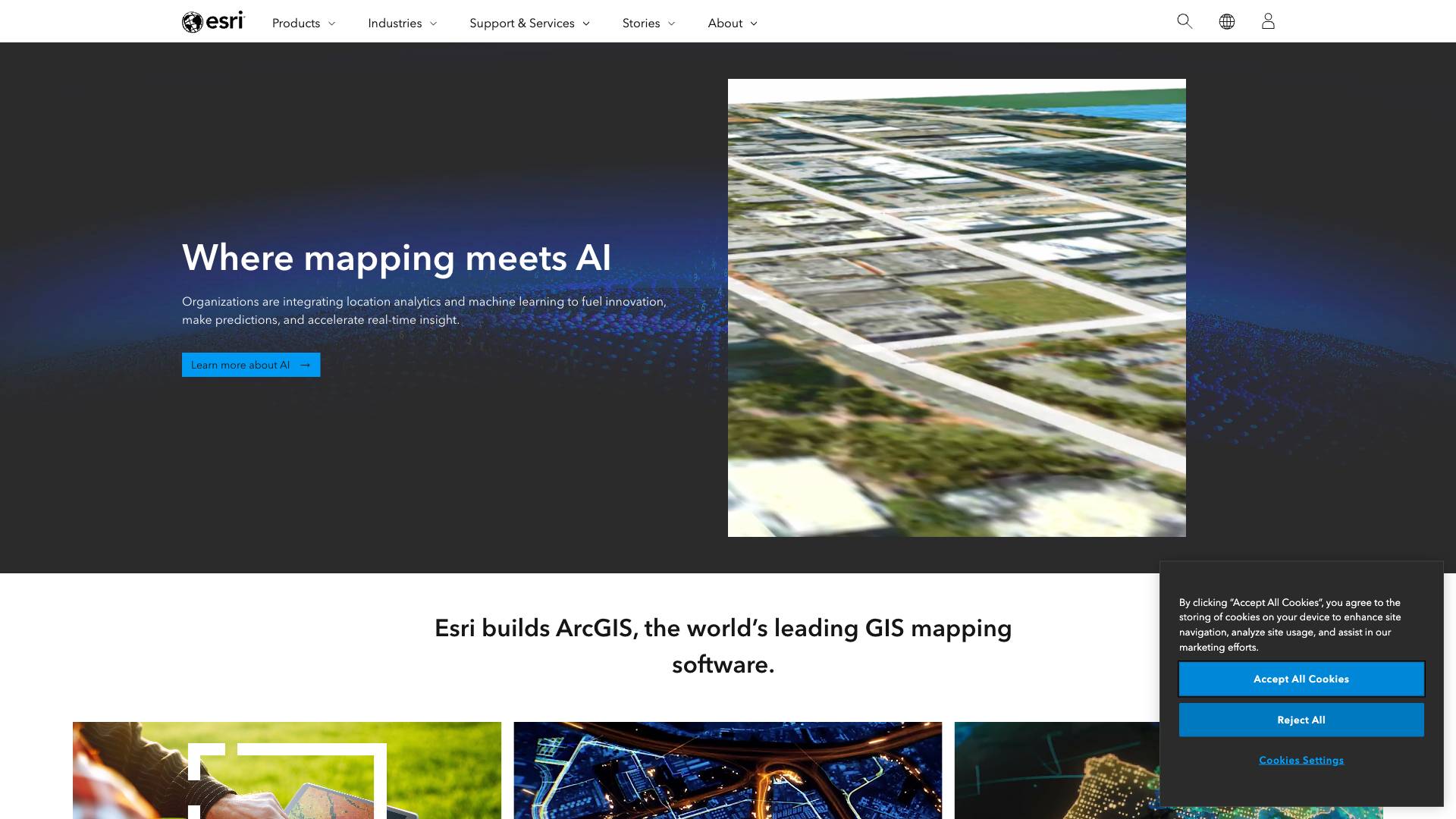
Esri, short for Environmental Systems Research Institute, is a leading software development company specializing in Geographic Information System (GIS) technology. Founded in 1969, Esri has evolved into a global leader in the field of mapping and spatial analytics. Its flagship product, ArcGIS, is a comprehensive geospatial platform that enables organizations to visualize, analyze, and interpret data through the lens of geography. This powerful tool integrates various data sources, provides advanced analytical capabilities, and supports a wide range of applications across different sectors.
ArcGIS is designed to help organizations make informed decisions by leveraging spatial data. It allows users to create interactive maps, perform spatial analysis, and manage geographic data, making it an essential tool for businesses, governments, and non-profits alike.
Features
Esri's ArcGIS platform is packed with a variety of features that cater to the needs of different users, from novice map creators to advanced GIS professionals. Here are some of the standout features that make ArcGIS a powerful tool:
1. Comprehensive Mapping Tools
- Interactive Mapping: Users can create dynamic maps that allow for zooming, panning, and layer manipulation.
- Customizable Symbology: Users can customize the appearance of map features to enhance visual representation and clarity.
- 3D Visualization: ArcGIS supports 3D mapping, enabling users to visualize terrain and structures in three dimensions.
2. Spatial Analysis
- Geospatial Analysis: Tools for analyzing spatial relationships, patterns, and trends in data.
- Model Builder: A visual programming interface that allows users to create complex analytical workflows without writing code.
- Geocoding: Convert addresses into geographic coordinates for mapping and analysis.
3. Data Management
- Data Integration: Seamlessly integrate various data formats and sources, including spreadsheets, databases, and real-time data feeds.
- Versioning and Editing: Supports collaborative editing and version control for team projects.
- Data Storage: Offers cloud storage solutions for easy access and management of geographic data.
4. Real-Time Data Processing
- Live Data Feeds: Connect to real-time data sources for up-to-date mapping and analytics.
- Dashboards: Create interactive dashboards that display real-time data visualizations and key performance indicators.
5. Collaboration and Sharing
- Web Maps and Apps: Easily create and share web maps and applications with stakeholders.
- Mobile Access: ArcGIS applications are accessible on mobile devices, allowing field workers to collect and analyze data on the go.
- Story Maps: Combine maps with narrative text, images, and multimedia to create engaging stories that convey information effectively.
6. Extensive Support and Resources
- Training and Tutorials: Esri offers a wealth of training resources, including online courses, documentation, and community forums.
- Technical Support: Users have access to expert technical support to assist with any issues or questions.
Use Cases
Esri's ArcGIS platform is versatile and can be applied across various industries and sectors. Here are some compelling use cases that demonstrate the power of Esri technology:
1. Urban Planning and Development
Urban planners use ArcGIS to analyze land use patterns, assess environmental impacts, and visualize proposed developments. By integrating demographic data and zoning regulations, planners can make informed decisions that enhance community development.
2. Environmental Management
Organizations focused on environmental conservation leverage ArcGIS for habitat mapping, resource management, and assessing the impacts of climate change. For instance, the Ray, a nonprofit organization, uses GIS software to identify suitable land for solar energy projects, considering factors like slope and solar radiation.
3. Public Safety
Law enforcement and emergency management agencies utilize ArcGIS for crime mapping, resource allocation, and disaster response planning. By analyzing crime trends and response times, agencies can improve public safety strategies and resource deployment.
4. Transportation and Logistics
Transportation agencies use ArcGIS to optimize routes, manage infrastructure, and analyze traffic patterns. By visualizing transportation networks, agencies can make data-driven decisions that enhance mobility and reduce congestion.
5. Agriculture and Land Use
Farmers and agricultural businesses employ ArcGIS for precision farming, crop management, and land use planning. By analyzing soil data, weather patterns, and crop yields, farmers can optimize their practices for better productivity.
6. Utilities and Infrastructure
Utility companies leverage ArcGIS for asset management, maintenance planning, and outage response. By visualizing infrastructure networks, companies can proactively address issues and improve service reliability.
Pricing
Esri offers a range of pricing options to accommodate different user needs, from individual users to large organizations. The pricing structure typically includes:
- ArcGIS Online: A subscription-based service that provides access to cloud-based mapping and analysis tools. Pricing varies based on the number of users and the level of access required.
- ArcGIS Desktop: A more advanced version intended for professional users, which comes with a one-time license fee and optional annual maintenance.
- ArcGIS Enterprise: Designed for organizations that require on-premises deployment, this option includes a comprehensive suite of GIS capabilities and is priced based on the number of cores and users.
- Educational Discounts: Esri offers special pricing for educational institutions and students, making GIS technology more accessible for learning and research.
For specific pricing details, organizations should contact Esri directly to discuss their unique requirements and receive a customized quote.
Comparison with Other Tools
When comparing Esri ArcGIS to other GIS tools in the market, several factors come into play. Here’s how Esri stands out:
1. Comprehensive Feature Set
Esri ArcGIS offers a more extensive range of features compared to many competitors. While tools like QGIS and MapInfo provide solid mapping capabilities, ArcGIS excels in advanced analytics, real-time data integration, and user-friendly interfaces.
2. User Experience
ArcGIS is designed with a focus on usability, making it accessible for both novice and expert users. The intuitive interface, coupled with extensive training resources, sets it apart from other GIS platforms that may have steeper learning curves.
3. Integration Capabilities
Esri ArcGIS integrates seamlessly with various data sources and third-party applications, such as Autodesk and Microsoft. This level of integration enhances its functionality and allows users to leverage existing tools within their workflows.
4. Support and Community
Esri has built a robust community of users and developers, providing extensive support through forums, documentation, and training resources. This community aspect is often more developed than that of competing tools, offering users a wealth of knowledge and shared experiences.
5. Industry Adoption
Esri is widely adopted across various industries, making it a standard in many sectors like urban planning, environmental management, and public safety. This widespread use ensures that users can find industry-specific resources and case studies to guide their implementations.
FAQ
1. What is GIS?
GIS stands for Geographic Information System, a technology used to collect, analyze, and visualize geographic data. It allows users to understand spatial relationships and patterns in data.
2. Who uses Esri technology?
Esri technology is used by a diverse range of organizations, including government agencies, non-profits, educational institutions, and private companies across various industries.
3. Is training available for new users of ArcGIS?
Yes, Esri offers a variety of training resources, including online courses, webinars, and documentation to help new users get started with ArcGIS.
4. Can ArcGIS be used for mobile applications?
Yes, Esri provides mobile applications that allow users to access and utilize GIS capabilities on smartphones and tablets, making it easier to collect and analyze data in the field.
5. What are the system requirements for ArcGIS?
System requirements for ArcGIS vary based on the specific product and deployment type (online, desktop, or enterprise). Users should refer to Esri's official documentation for the latest requirements.
6. Is there a free trial available for ArcGIS?
Esri typically offers free trials for certain products, allowing potential users to explore the capabilities of ArcGIS before making a commitment.
In conclusion, Esri's ArcGIS platform stands out as a leader in the GIS industry due to its comprehensive features, versatility in use cases, and strong community support. Whether for urban planning, environmental management, or public safety, organizations can rely on Esri technology to drive informed decision-making and enhance operational efficiency.
Ready to try it out?
Go to Esri