
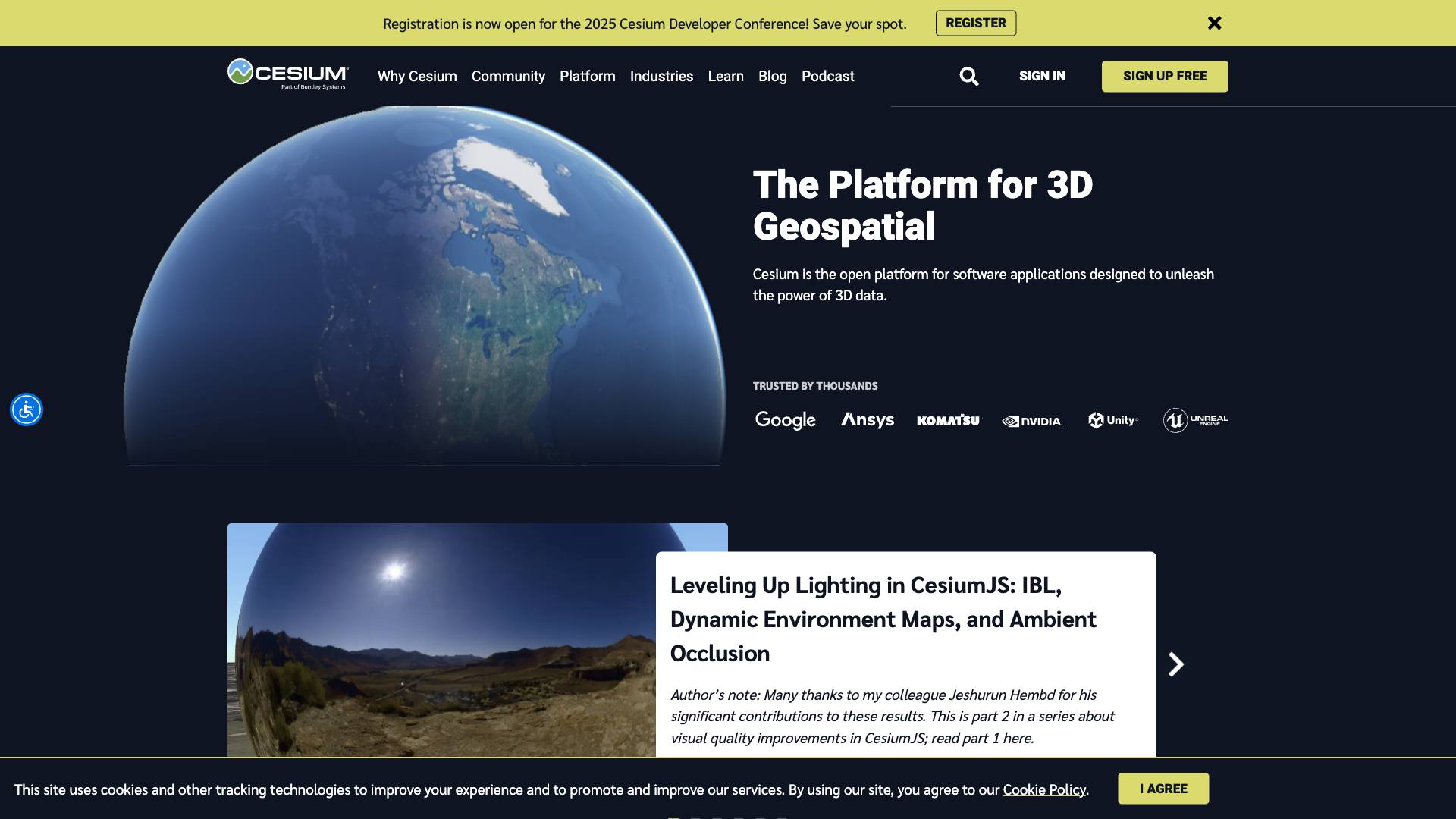
Cesium.js
Cesium.js is an open platform for visualizing and analyzing 3D geospatial data, empowering developers to create innovative applications with precision and performance.
 Tags
Tags
 Useful for
- 1.What is Cesium.js?
- 2.Features
- 2.1.3D Visualization
- 2.2.Data Management
- 2.3.Interoperability
- 2.4.Analytics
- 2.5.Developer Support
- 2.5.1.Performance Optimization
- 2.6.Multi-Platform Support
- 3.Use Cases
- 3.1.Architecture, Engineering, and Construction (AEC)
- 3.2.Defense and Government
- 3.3.Education and Research
- 3.4.Entertainment and Media
- 3.5.Urban Planning
- 4.Pricing
- 5.Comparison with Other Tools
- 6.Performance
- 6.1.Open Source
- 6.2.Versatility
- 6.3.Visualization Quality
- 7.FAQ
- 7.1.What types of data can Cesium.js visualize?
- 7.2.Is Cesium.js suitable for mobile applications?
- 7.3.How can I get started with Cesium.js?
- 7.4.Can I contribute to Cesium.js?
- 7.5.What industries benefit from using Cesium.js?
- 7.6.Is there a limit to the size of datasets I can visualize with Cesium.js?
- 7.7.What support options are available for Cesium.js users?
What is Cesium.js?
Cesium.js is an open-source JavaScript library designed for creating 3D geospatial applications. It provides developers with the tools to visualize, analyze, and interact with vast amounts of geospatial data in a 3D environment. Cesium.js is particularly known for its performance in rendering 3D Tiles, which allows for the efficient streaming and visualization of large datasets. The platform is utilized across various industries, including architecture, engineering, construction, defense, and more, making it a versatile choice for developers looking to leverage 3D geospatial data.
Features
Cesium.js is packed with a variety of features that make it a powerful tool for developers:
3D Visualization
- High-Quality Rendering: Cesium.js offers a precise rendering engine that ensures high-quality visualization of 3D data.
- Support for 3D Tiles: The library is optimized for streaming massive amounts of 3D data, allowing for the visualization of complex datasets with ease.
Data Management
- Data Pipelines: Cesium.js includes robust data pipelines for importing, processing, and visualizing geospatial data.
- Curated Data Access: Developers can access curated datasets to enhance their applications and provide users with valuable information.
Interoperability
- Open Standards: Cesium.js adheres to open standards, ensuring compatibility with various data formats and other tools.
- Community Collaboration: The platform encourages community contributions, allowing developers to enhance the library and share their improvements.
Analytics
- Data Analysis Tools: The library includes tools for analyzing geospatial data, enabling users to extract insights and make informed decisions based on their findings.
Developer Support
- Extensive Documentation: Cesium.js is backed by comprehensive documentation, making it easier for developers to get started and find solutions to common problems.
- Active Community: With over 300 external contributors, the Cesium community is vibrant and active, providing support and sharing knowledge.
Performance Optimization
- Best-in-Class Streaming: Cesium.js is optimized for performance, allowing for smooth interactions even when handling large datasets.
- Dynamic Environment Maps: The library supports advanced visual effects such as image-based lighting (IBL) and ambient occlusion, enhancing the visual quality of applications.
Multi-Platform Support
- Native Engines: In addition to web applications, Cesium.js can be utilized in native engines such as Cesium Native, Cesium for Unreal, Cesium for Unity, and Cesium for Omniverse, broadening its usability.
Use Cases
Cesium.js has a wide range of applications across different industries. Here are some notable use cases:
Architecture, Engineering, and Construction (AEC)
- Project Visualization: Stakeholders can visualize entire construction sites in 3D, improving communication and collaboration across all phases of a project.
- Data Management: Cesium.js enables the management of massive photogrammetry datasets, making it easier for teams to access and analyze project data.
Defense and Government
- Mission Support: Cesium.js collaborates with government agencies and the U.S. Department of Defense to provide advanced geospatial visualization tools for mission planning and analysis.
- Real-Time Tracking: The platform is capable of real-time tracking applications, which is crucial for defense and emergency response scenarios.
Education and Research
- Interactive Learning: Educators can use Cesium.js to create interactive learning tools that allow students to explore geospatial concepts in a 3D environment.
- Research Applications: Researchers can utilize the library to visualize complex datasets, making it easier to analyze trends and patterns.
Entertainment and Media
- Engaging Applications: Developers can create engaging applications that visualize data in a fun and interactive way, such as the NORAD Tracks Santa application, which provides real-time updates on Santa Claus's location each Christmas Eve.
Urban Planning
- City Modeling: Urban planners can use Cesium.js to create detailed 3D models of cities, helping to visualize and analyze urban development projects.
- Public Engagement: The platform can be used to engage the public in urban planning discussions by providing interactive visualizations of proposed developments.
Pricing
Cesium.js is an open-source library, meaning that it is free to use and can be modified to meet specific needs. However, Cesium also offers additional services through Cesium ion, which provides a SaaS platform for tiling, hosting, and streaming 3D geospatial data. Pricing for Cesium ion may vary based on usage and the specific services required, making it essential for potential users to evaluate their needs and budget when considering the platform.
Comparison with Other Tools
When comparing Cesium.js to other geospatial visualization tools, several unique selling points stand out:
Performance
- Streaming Capabilities: Cesium.js is known for its best-in-class implementation of 3D Tiles, allowing for the efficient streaming of large datasets compared to competitors that may struggle with performance under similar conditions.
Open Source
- Community-Driven Development: Unlike many proprietary tools, Cesium.js is open-source, fostering a collaborative community that contributes to its ongoing development and improvement.
Versatility
- Multi-Platform Support: Cesium's ability to work across various platforms, including web and native engines, makes it a more versatile option than many other tools that may be limited to specific environments.
Visualization Quality
- Advanced Visual Effects: Cesium.js offers features such as dynamic environment maps and ambient occlusion, which enhance the visual quality of applications, setting it apart from other tools that may not provide similar capabilities.
FAQ
What types of data can Cesium.js visualize?
Cesium.js can visualize a wide range of geospatial data formats, including 3D Tiles, GeoJSON, KML, and more. This flexibility allows developers to work with various datasets, making it suitable for diverse applications.
Is Cesium.js suitable for mobile applications?
While Cesium.js is primarily designed for web applications, it can be integrated into mobile applications through responsive web design techniques. Additionally, its native engines, such as Cesium for Unreal and Cesium for Unity, can be used for mobile game development.
How can I get started with Cesium.js?
Getting started with Cesium.js is straightforward. Developers can access comprehensive documentation, tutorials, and example projects available on the Cesium website. Additionally, the active community provides support and resources to help newcomers.
Can I contribute to Cesium.js?
Yes, Cesium.js encourages community contributions. Developers can contribute to the project by submitting code, reporting issues, or participating in discussions. The vibrant community makes it easy to get involved and collaborate with others.
What industries benefit from using Cesium.js?
Cesium.js is utilized across various industries, including architecture, engineering, construction, defense, education, urban planning, and entertainment. Its versatility makes it a valuable tool for any sector that relies on geospatial data.
Is there a limit to the size of datasets I can visualize with Cesium.js?
While there is no strict limit to the size of datasets that can be visualized with Cesium.js, performance may vary based on the complexity of the data and the capabilities of the user's hardware. Cesium.js is optimized for handling large datasets, but testing with specific datasets is recommended to ensure optimal performance.
What support options are available for Cesium.js users?
Users can access extensive documentation, tutorials, and community forums for support. For enterprise-level support, Cesium offers services through Cesium ion, providing additional resources and assistance for businesses.
In conclusion, Cesium.js is a powerful and flexible tool for developers looking to harness the potential of 3D geospatial data. Its features, use cases, and unique selling points make it a standout choice in the realm of geospatial visualization. Whether for professional applications or educational purposes, Cesium.js provides the tools necessary to create engaging and informative 3D geospatial applications.
Ready to try it out?
Go to Cesium.js