
Carto
CARTO is a cloud-native spatial analytics platform that empowers users to visualize and analyze vast geospatial data effortlessly for actionable insights.
 Tags
Tags
 Useful for
- 1.What is Carto?
- 2.Features
- 2.1.1. Spatial Analytics
- 2.2.2. Data Visualization
- 2.3.3. App Development
- 2.4.4. Generative AI Capabilities
- 2.5.5. Data Enrichment
- 3.Use Cases
- 3.1.1. Telecommunications
- 3.2.2. Real Estate and Urban Planning
- 3.3.3. Retail and Marketing
- 3.4.4. Logistics and Transportation
- 3.5.5. Environmental Analysis
- 4.Pricing
- 5.Comparison with Other Tools
- 5.1.1. Cloud-Native Integration
- 5.2.2. User-Friendly Interface
- 5.3.3. Generative AI Capabilities
- 5.4.4. Scalability
- 5.5.5. Comprehensive Data Enrichment
- 6.FAQ
- 6.1.Q1: What types of industries can benefit from Carto?
- 6.2.Q2: Do I need to be a GIS expert to use Carto?
- 6.3.Q3: How does Carto ensure data security?
- 6.4.Q4: Can I try Carto before purchasing?
- 6.5.Q5: What kind of support does Carto offer?
What is Carto?
Carto is a powerful cloud-native platform designed for spatial analytics, enabling users to analyze, visualize, and develop insights from spatial data at an unprecedented scale. It integrates seamlessly with popular cloud data warehouses such as BigQuery, Snowflake, Databricks, and Redshift, providing a single, secure source for all spatial analysis needs. With its intuitive drag-and-drop interface and built-in generative AI capabilities, Carto empowers users of all skill levels to derive actionable insights from complex spatial data.
Features
Carto boasts a wide array of features that cater to the needs of data analysts, developers, and GIS professionals alike. Here are some of its standout features:
1. Spatial Analytics
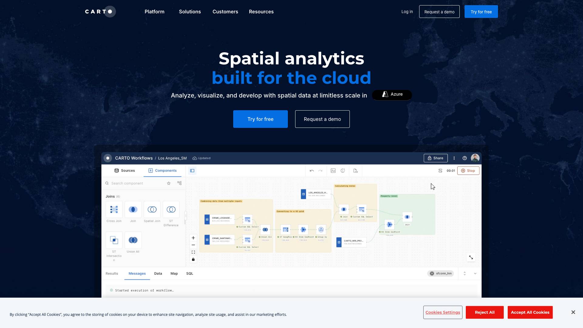
- Cloud-Native Architecture: Carto is built to run natively on leading cloud platforms, eliminating the need for complex ETL processes or data duplication.
- Visual Workflow Design: Users can design and automate advanced data processing and analysis pipelines using a user-friendly drag-and-drop interface.
- 100+ Ready-to-Go Components: The platform offers a complete suite of analysis components that facilitate everything from data preparation to advanced analytics.
2. Data Visualization
- Dynamic Data Visualizations: Carto enables the creation of rich, interactive maps and dashboards that can visualize billions of data points efficiently.
- Performance Optimization: Built to handle massive datasets, Carto ensures that visualizations remain performant and responsive.
- Embedding and Sharing: Users can securely share their visualizations and dashboards or embed them within their applications, enhancing collaboration and insights dissemination.
3. App Development
- Accelerated Development: Carto provides APIs and a development toolkit that reduce the time and cost associated with building spatial applications.
- Frame Agnostic Development: Developers can use vanilla JavaScript, TypeScript, or any preferred framework (e.g., Vue, React, Angular) to build applications without the need for intermediate mapping servers.
- Innovative Visualization Tools: Leveraging technologies like deck.gl, Carto offers unparalleled performance in rendering visualizations.
4. Generative AI Capabilities
- AI-Powered Insights: Carto integrates generative AI capabilities, allowing users to interact with their spatial data through natural language prompts, enhancing productivity and insight generation.
- Automated Workflow Design: Users can design analysis workflows simply by describing their requirements, making spatial analysis more accessible to non-technical users.
5. Data Enrichment
- Data Observatory: Access to over 12,000 geospatial datasets from leading data providers, allowing users to enrich their analyses with diverse data sources.
- Enterprise-Ready Security: Carto provides enterprise-grade security, authentication, and data access controls to ensure secure distribution of analysis results among stakeholders.
Use Cases
Carto's versatility makes it suitable for a wide range of industries and applications. Here are some notable use cases:
1. Telecommunications
- 5G Deployment: Telecommunications companies can leverage Carto to analyze vast amounts of spatial data for strategic 5G deployment, ensuring optimal coverage and service quality.
2. Real Estate and Urban Planning
- Site Selection: Real estate firms can use Carto to evaluate potential sites based on demographic data, traffic patterns, and other spatial factors, enabling data-driven decision-making.
- Urban Development: Urban planners can visualize and analyze spatial data to inform infrastructure development and public service placement.
3. Retail and Marketing
- Market Analysis: Retailers can analyze customer demographics and spatial data to optimize store locations and marketing strategies, ensuring they reach their target audience effectively.
- Sales Performance: Companies can assess site performance across multiple locations to enhance operational efficiency and sales outcomes.
4. Logistics and Transportation
- Route Optimization: Logistics companies can utilize Carto to analyze transportation routes and optimize delivery schedules, reducing costs and improving service levels.
- Catchment Area Analysis: Businesses can assess the catchment areas for their services, ensuring they are strategically placed to meet customer demands.
5. Environmental Analysis
- Resource Management: Environmental organizations can analyze spatial data to assess natural resource distribution and manage conservation efforts effectively.
- Disaster Response: Emergency services can use Carto to visualize and analyze data for disaster response planning and resource allocation.
Pricing
Carto offers various pricing tiers to accommodate different organizational needs and sizes. While specific pricing details may vary, the following general structure is commonly observed:
- Free Trial: Users can try out Carto's features for free, allowing them to explore the platform's capabilities before committing to a paid plan.
- Enterprise Plans: Tailored pricing for larger organizations that require advanced features, additional data storage, and enhanced support services.
- Custom Solutions: For organizations with unique needs, Carto may offer customized pricing solutions based on specific requirements.
Organizations interested in Carto should contact the sales team for a detailed quote based on their specific use case and requirements.
Comparison with Other Tools
When comparing Carto to other spatial analytics tools, several unique selling points and advantages stand out:
1. Cloud-Native Integration
Carto's architecture is designed to work seamlessly with major cloud data warehouses like BigQuery, Snowflake, and Databricks, providing a level of integration and performance that many traditional GIS tools lack.
2. User-Friendly Interface
The intuitive drag-and-drop interface makes it accessible for users of all skill levels, from novice data analysts to seasoned GIS professionals. This contrasts with some other tools that may require extensive training or technical expertise.
3. Generative AI Capabilities
Carto's integration of generative AI allows users to interact with their spatial data in innovative ways, enhancing productivity and making complex analyses more accessible. This feature is not commonly found in other spatial analytics platforms.
4. Scalability
Carto is built to handle massive datasets without performance degradation, making it an ideal choice for organizations dealing with large volumes of spatial data. Its cloud-native design ensures that users can scale their analyses as needed without worrying about infrastructure constraints.
5. Comprehensive Data Enrichment
With access to over 12,000 geospatial datasets, Carto provides a rich resource for data enrichment, setting it apart from other tools that may offer limited data sources.
FAQ
Q1: What types of industries can benefit from Carto?
Carto is versatile and can be used across various industries, including telecommunications, real estate, retail, logistics, environmental science, and urban planning.
Q2: Do I need to be a GIS expert to use Carto?
No, Carto is designed to be user-friendly, with an intuitive drag-and-drop interface that allows users of all skill levels to perform spatial analysis and visualization.
Q3: How does Carto ensure data security?
Carto provides enterprise-grade security features, including authentication and data access controls, to ensure that your data and analyses are secure.
Q4: Can I try Carto before purchasing?
Yes, Carto offers a free trial that allows users to explore its features and capabilities before committing to a paid plan.
Q5: What kind of support does Carto offer?
Carto provides various support options, including documentation, customer support, and community resources to assist users in maximizing their use of the platform.
In conclusion, Carto is a robust spatial analytics platform that empowers organizations to harness the power of spatial data for informed decision-making. With its comprehensive features, user-friendly design, and cloud-native architecture, Carto stands out as a leader in the field of location intelligence. Whether you are a data analyst, developer, or GIS professional, Carto offers the tools you need to unlock the full potential of spatial analysis.
Ready to try it out?
Go to Carto